




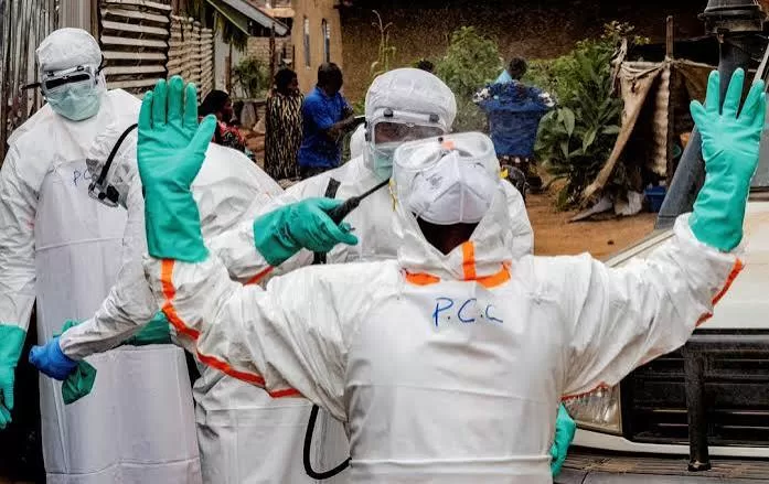
Health officials battling the Ebola outbreak in eastern Democratic Republic of Congo are using anonymised mobile-phone data to map population movements and identify areas where the virus could spread next, according to the World Health Organisation and researchers working with it.
The approach, which has not been used before in an Ebola response, comes as authorities struggle to contain what the WHO has described as the fastest-growing Ebola outbreak on record. Cases have been confirmed in six provinces, with more than 6,250 people infected and 3,039 killed since the outbreak was declared on May 15, according to the latest government data.
The outbreak, Congo’s 17th, is caused by the Bundibugyo species of Ebola, for which there are no approved vaccines or treatments.
As the virus spreads, health officials are looking for ways to anticipate where cases could emerge next and direct limited surveillance and response resources.
“Population movements have always been a factor in outbreaks, but they are particularly important in the current epidemic,” said Olivier Le Polain, head of epidemiology and analytics for response at the WHO Health Emergencies Programme.
Traditional risk assessments focus on outbreak hotspots and assume the virus is most likely to spread to surrounding areas. Analysing mobility data allows responders to identify risks in places that may be geographically distant but closely connected through travel patterns.
“It gives us a more nuanced understanding of risk,” Le Polain said, citing the example of Ituri province, in the northeast, where the virus is believed to have started circulating.
“There are very significant population movements in Ituri linked to mining activities and trade. Understanding those movements is crucial to understanding how the outbreak spreads.”
The analysis is produced by Swedish non-profit Flowminder, using anonymised records generated when mobile phone users connect to telecommunications networks.
As people move around the country, their phones connect to different antennas on the network, generating records that show where those connections took place. Researchers use those records to estimate how people travel between different areas.
The data is provided free of charge by Vodacom, Congo’s largest operator. Vodacom did not respond to a request for comment.
Flowminder says it receives aggregated and anonymised records and does not have access to information identifying individual subscribers.
“We seek to provide estimates of how people move, which in turn is a predictor of how infectious people move,” Flowminder founder Linus Bengtsson told Reuters.
Flowminder’s first analysis, published in early June, focused on the three areas where the outbreak is believed to have started: Bunia, Mongbwalu and Rwampara. Researchers tracked where people who had spent time in those areas between April 3 and April 23 later travelled.
The largest flows were to nearby areas in Ituri province and North Kivu province. By the end of June, all 10 of the destinations receiving the largest flows of travellers from the original outbreak areas had reported confirmed Ebola cases.